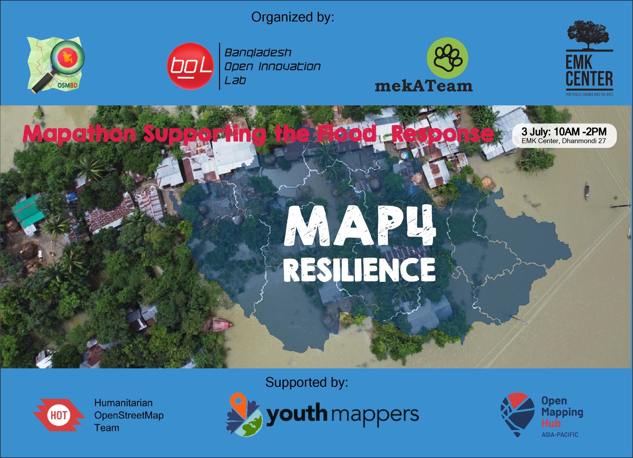
Map 4 Resilience

Flood is rapidly increasing in a different part of Bangladesh. And there is no complete data on a map based on flood-prone areas and vulnerable situations with roads and other data. So we are going to organize a MapAThon where we give input on map data based on the satellite image. This map data not only for the current flood but also an be an asset for the next flood situation.
During the MapaAThon we map the vulnerable flood affected area of Bangladesh through OpenStreep Map.
If you are not skilled with OpenStreetMap map you will get the chance to hands on learning of how to map through OSM.
( Laptop need to bring)
Register now to join the MapAthon, only selected people can get the chance to join the program.
Registration link: https://forms.gle/BN8XopMA4oDCt8kv7
The Program collaboratively orgnaized by Mekateam, OSMBD, EMK center, BOIL and supported by Humanitarian OpenStreetMap Team, Open Mapping Hub Asia Pacific and YouthMappers
July 3, 2022
July 3, 2022
10:00 am
2:00 pm
EMK Center, Dhaka, Bangladesh
Bangladesh Open Innovation Lab - BOIL, YouthMappers Bangladesh Community and Mekateam
Was this post helpful?
Let us know if you liked the post. That’s the only way we can improve.

